Accurate Land Measurement with GPS Area Measure
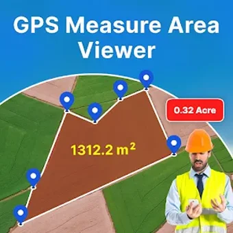
GPS Measure Area Viewer is a versatile Android app designed for precise area and distance calculations. It caters to a wide array of users, including farmers, engineers, real estate agents, and travelers, by providing an easy-to-use interface to measure fields, plots, and routes. Key features include the ability to measure land area using various units, a distance measuring tool, and a live camera earth view that offers real-time navigation and exploration capabilities.
In addition to its core functionalities, GPS Area Measure includes a smart GPS compass for navigation, a marker measure feature for custom area calculations, and a measurement converter for easy unit conversions. This app combines essential tools into one platform, making it ideal for anyone needing reliable measurement solutions. While it provides approximate measurements, it serves as a valuable resource for general use, streamlining the process of land measurement and distance tracking.